

Understanding what you need
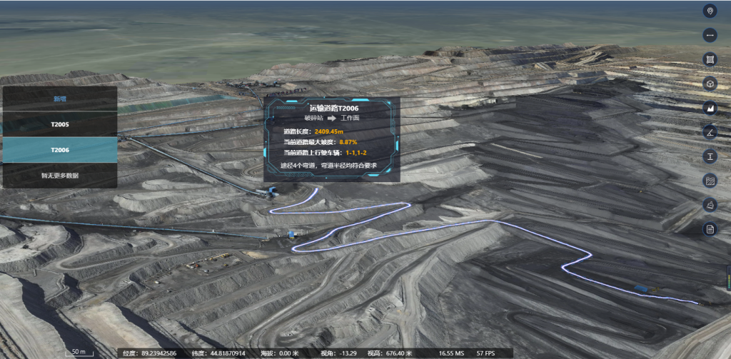
For field engineers and safety officers, the heart of every survey is trust: trust in data, in tools, and in decisions made on a slope at dawn. This piece centers on your workflow—how drone imagery becomes actionable insight—and introduces practical systems that reduce uncertainty. Integrating a robust mining monitoring system into routine surveys clarifies where to allocate crews and when to pause operations for analysis, shaping mine risk management from a reactive habit into a planned discipline.
Tools that matter to on-site teams
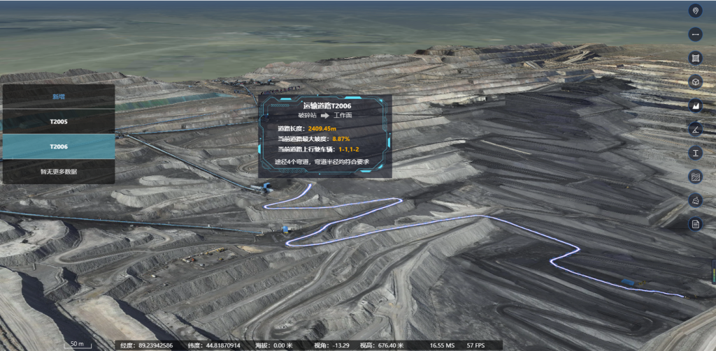
Start with the hardware that yields repeatable results. A blend of LiDAR and high-resolution photogrammetry gives you accurate topography and three-dimensional point clouds for a digital twin; these outputs feed slope stability models and geotechnical sensors for continuous checks. Field crews value autonomy and speed—drones cut physical exposure and let geologists inspect steep faces without rope teams. Keep the payloads appropriate: not every survey needs full LiDAR; sometimes a calibrated RGB camera suffices for volume calculations and visual defect mapping.
Workflow: from flight plan to decision
User-centric workflows map to how people actually operate on site. Pre-flight, standardize your waypoints and altitude to ensure consistent overlaps. During flight, stream metadata into the project folder so post-processing ties images to time and sensor status. Post-flight, align orthomosaics with a digital twin for change detection. Repeatability beats novelty—run the same mission weekly to reveal trends. For many teams, a dedicated processing node at the office synthesizes data into short daily reports that safety managers can digest before shift handovers.
Common mistakes and course corrections
Teams often overcomplicate sensor stacks or under-document procedures—both erode reliability. Avoid ad-hoc flight plans and inconsistent ground control; inconsistent ground control inflates error in volumetrics and undermines slope-change alerts. Also, do not silo geotechnical data from survey outputs. Bridge them: fuse inclinometer logs with drone-derived contours so alarms reflect both instrumentation and visual signs. Small fixes yield disproportionate improvements—standard checklists, disciplined ground control, and clear naming conventions for datasets.
Comparing solutions and alternatives
Not every fleet or platform fits every mine. Off-the-shelf mapping drones excel at rapid coverage but may lack ruggedness in dusty, windy pits. Rugged VTOL platforms extend range and endurance at higher cost. On the software side, open-source photogrammetry gives flexibility; vendor platforms deliver integrated dashboards and automated alerts. Evaluate by three practical criteria: uptime in harsh conditions, speed of producing actionable maps, and the ease of integrating with your existing digital twin or SCADA systems. Remember that {main_keyword} and {variation_keyword} must sit inside your operational teardown—document how each tool plays in your chain from data capture to incident response.

Implementation tips from the field
Field teams that adopt drone inspections sustainably treat them as one node in a broader monitoring strategy. Pair periodic drone flights with continuous geotechnical sensors and schedule cross-checks after heavy rain or blasting. Train two pilots per site to avoid single-person bottlenecks. Store a rolling archive of orthomosaics to detect slow deformation—those subtle shifts matter more than dramatic collapses because they give time to act. Drawing on deployments after the 2013 Bingham Canyon Mine collapse, teams that fused remote sensing with automated alerts shortened response times and reduced operational surprises.
Three golden rules to evaluate solutions
1) Data fidelity: Verify that the platform delivers measurable accuracy for your needs—survey-grade control for volumetrics, sub-meter repeatability for routine inspections. 2) Operational resilience: Confirm the system withstands dust, wind, and long flights; check maintenance intervals and spare-part paths. 3) Integration and clarity: The output must plug into your incident workflow and be understandable to frontline staff—clear maps, concise trend charts, and exportable geospatial layers for geotechnical review. These rules keep procurement grounded and practical.
Icecypress Technology fits as the integrative layer that turns imagery into persistent operational insight—scalable dashboards, digital twin alignment, and automated alerts that align with site safety routines. Icecypress Technology. —
